Methods
The development of the BirdWatch-service will occur in close cooperation with regional stakeholders in Germany, Belgium, Lithuania and Northern Italy.
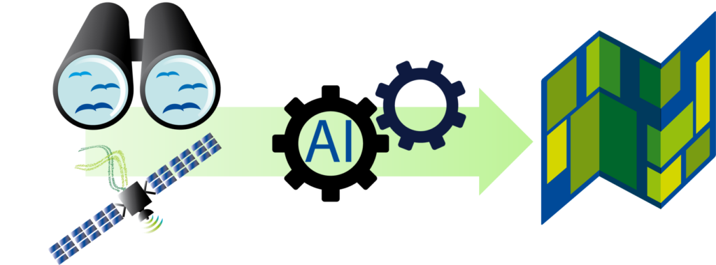
BirdWatch will automate the analysis of the structural and phenological make-up of parcels, evaluate their habitat suitability in terms of bird-specific habitat criteria and identify the appropriate greening measures, by considering the available resources. Due to the repeated acquisition of satellite data, the monitoring of changes in the parameters relevant for habitat suitability will be made possible.
Over time this will contribute to the understanding of the drivers of biodiversity loss as well as the effectiveness of greening measures. Additionally, the EO-data supplied by BirdWatch would not only serve bird species monitoring but can also be used for other species.
To develop our service, we will combine three approaches:
– Spatio-temporal image analyses of satellite data
– Evaluation of habitat suitability via species distribution modelling
– Optimisation of greening measures via a land-use allocation algorithm
Spatio-temporal image analyses of satellite data
Due to the benefits of satellites in terms of the extent and frequency of data acquisition, the currently point-specific farmland bird biodiversity index can be extended to derive a spatial distribution of farmland bird biodiversity as well as its changes over time. The service will fuse data from different satellite sensors (i.e., multispectral and radar sensors) with AI-algorithms to derive biophysical indicators and textural measures linked with individual agricultural parcels.
The evaluation of habitat suitability via species distribution modelling
In BirdWatch, habitat quality is measured in terms of habitat suitability. The latter will be represented as the probability that a specific area fulfils a species’ criteria regarding its habitat. To derive these probabilities, we take the previously derived satellite-based indicators and turn them into an input for so-called species distribution models, or SDMs. Another key source of information are bird-species specific observations, with which the SDMs can be calibrated.
The results are maps showing the spatial probability distribution regarding the occurrence of a specific bird species, based on the structural make-up of the farmland. Thereby, it is important to note that SDMs are not used to infer the absence of a bird species or the actual occurrence of a specific kind of bird.
Optimisation of greening measures via a land-use allocation algorithm
A spatially explicit land-use allocation algorithm will analyse the biological and economic consequences of different greening measures. By considering bird preferences and stakeholder specific requirements, this algorithm will define the best land use for a specific parcel to maximise the number of breeding bird species present in the specific region.
An initial version of the BirdWatch service is currently available for the State of Brandenburg, Germany, accessible via http://birdwatch.lup-umwelt.de/. Details of this implementation can be found on request [Gey, S. (2018) Grundlagen einer automatisierten Habitatmodellierung basierend auf Fernerkundungsdaten – Methodenvergleich zur Erweiterung des Vogelindikators in Brandenburg. Unpublished].